
29
Localités
3,455
Registres de recensement
831
Foyers
2
Années de recensement
- Personnes
- 1,524
- Foyers
- 360
- Personnes
- 1,931 +26.7%
- Foyers
- 471 +30.8%
À propos
Killyleagh is a parish located in County Down, in the northeastern part of the island of Ireland, within the historic province of Ulster. The parish sits in a landscape characteristic of much of County Down, featuring rolling hills, agricultural land, and waterways that have shaped settlement patterns throughout history. The area's geography has made it strategically important and economically viable, with access to both inland resources and routes to the sea. The broader region is known for its drumlin topography—the distinctive oval-shaped hills formed during the last Ice Age—which continues to define the visual character of the local landscape.
The parish has deep historical roots extending back to medieval times, with its name deriving from an Irish saint associated with the area. Like much of County Down, Killyleagh experienced the significant changes brought about by English colonization and the Plantation of Ulster in the early seventeenth century, which introduced new patterns of land ownership and settlement. The parish would have been affected by the religious and political upheavals of subsequent centuries, including the various conflicts and reformations that shaped Irish history. These historical layers—from early Christian settlement through medieval organization to early modern plantation—have left their mark on the parish's development and character.
The most distinctive feature of Killyleagh is the castle, which stands as a prominent landmark in the parish. The castle has been an important structure throughout the area's history, serving variously as a defensive fortification and a residence, and its presence has significantly shaped the parish's social and economic development over centuries. The castle and its surrounding lands have long been central to the parish's identity and have influenced patterns of settlement, trade, and social organization in the locality.
Killyleagh parish remains part of the living fabric of County Down, serving as both a geographic and administrative unit within the broader community structure. The parish maintains connections to its historical past while functioning as part of the contemporary local area, with its residents participating in the wider networks of civic, religious, and social life that characterize rural County Down. Understanding Killyleagh provides insight into the layered history and landscape of this part of Ulster, where ancient settlement patterns, historical events, and natural geography continue to intersect.
Source: AI generated
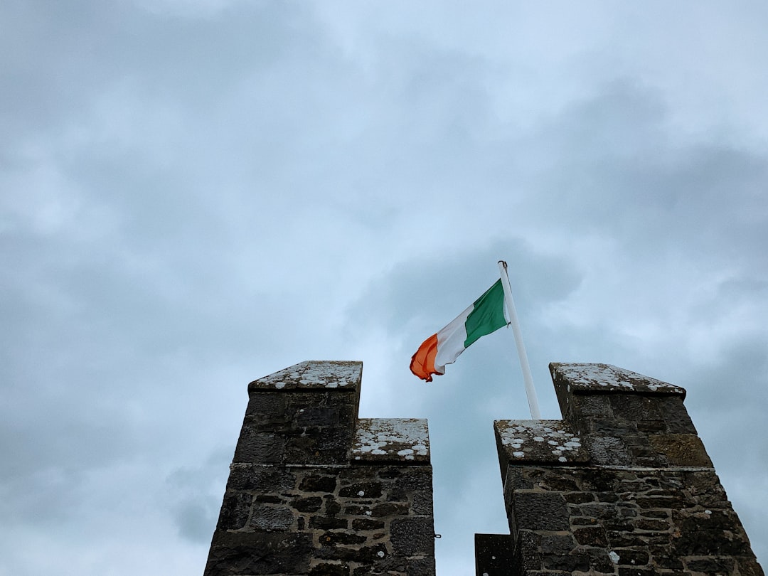
Photo by Tommy Bond on Unsplash
- Comté
-
Baronnie
Castlereagh Upper
-
Nom irlandais
Cill Ó Laoch
-
Localités
29 localités
- Logainm
Annals of the Four Masters
Historical references from O'Donovan's edition (1848–51)
1 place in this parish is recorded in the Annals of the Four Masters.
Tullyfin
The Annals of the Four Masters record Tullykin (Irish: Tulach-fionn) in 1 entry in AD 1502.
Source: Annals of the Kingdom of Ireland by the Four Masters, ed. John O'Donovan (1848–51). Public domain.
Griffith's Valuation
National Archives of Ireland (c. 1830s-1850s)
3 occupiers recorded in Griffith's Valuation across 1 townlands (1830s-1850s).
Top Surnames
Source: Valuation Office Books, National Archives of Ireland. Public records.
Actions rapides
Obtenir l'application iOS
Recherchez en déplacement
Emplacement de la paroisse
Détails
- Anglais
- Killyleagh
- Irlandais
- Cill Ó Laoch
- Baronnie
- Castlereagh Upper
- Comté
- Down