Acerca de
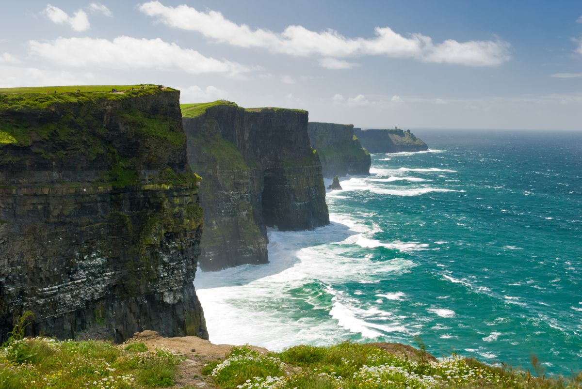
Hurdleston is a small townland located in County Clare in the west of Ireland, situated within the broader landscape of the Irish midlands and Atlantic coastal region. The townland is part of the administrative structures of County Clare, which occupies a distinctive position in the Republic of Ireland, bordering both Galway and Limerick. The local geography is characterized by the rolling terrain typical of Clare's interior, with a mix of farmland, hedgerows, and scattered rural settlements. The landscape reflects the county's broader geological and agricultural character, with soil and vegetation suited to pastoral farming and traditional rural livelihoods.
Like many Irish townlands, Hurdleston's history is deeply interwoven with the patterns of settlement, land use, and social organization that have shaped rural Ireland over centuries. Townlands represent one of the oldest divisions of Irish land, with roots extending back through medieval times and into earlier Gaelic territorial arrangements. The name Hurdleston itself suggests Anglo-Norman or English influences in its nomenclature, reflecting the complex layers of conquest, settlement, and cultural change that affected County Clare and Ireland more broadly. As with numerous rural townlands, detailed historical records specific to Hurdleston may be limited, though its existence and use as a defined territorial unit would have been important for local administration, property rights, and community identity.
Hurdleston, like most Irish townlands, serves as more than a mere geographic designation. Townlands have traditionally functioned as fundamental units of local identity and organization, often corresponding to specific communities, parish divisions, or historic estates. For residents and their descendants, the townland name anchors family history, local connections, and a sense of belonging to a particular place within the broader county landscape. The preservation of townland names and boundaries represents an important element of Irish cultural and historical geography, maintaining connections to Ireland's pre-modern territorial organization even as rural communities continue to evolve.
Source: AI generated
No photo added yet
- Parroquia
- Condado
-
Nombre en irlandés
Baile na gCliath
-
Baronía
Tulla Lower
- Logainm
Valuation Office Records
From the National Archives of Ireland (c. 1830s–1850s)
1 occupiers recorded in the Valuation Office Books for this townland.
Source: Valuation Office Books, National Archives of Ireland. Public records.
Acciones rápidas
Obtener la app de iOS
Busque sobre la marcha