49
Registros censales
6
Hogares
2
Años del censo
- Personas
- 25
- Hogares
- 3
- Personas
- 24 -4%
- Hogares
- 3 0%
Acerca de
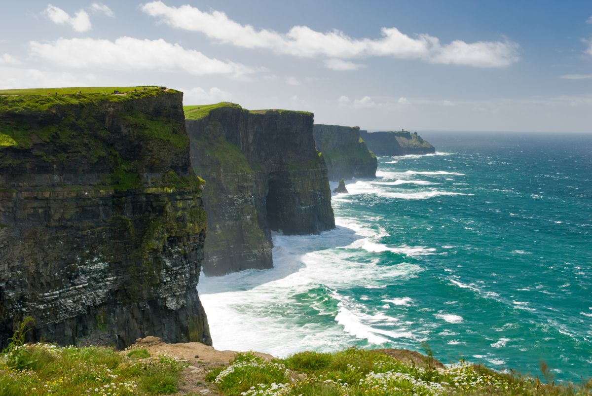
Caherbullaun is a small townland located in County Clare, in the west of Ireland. The area is situated within the broader landscape of the Burren region or its borderlands, an area known for its distinctive karst limestone terrain, sparse vegetation, and rolling hills. The townland, like many in rural Clare, comprises scattered farmsteads and fields typical of the Irish countryside. The landscape around Caherbullaun reflects the agricultural character of the region, with stone walls dividing fields and the natural limestone geology visible throughout the area.
The history of Caherbullaun, as with much of County Clare, extends back centuries through various periods of Irish settlement and land use. The name itself, like many Irish townland names, derives from Irish language roots—"Caher" typically refers to a stone fort or fortified settlement, which suggests the area may have had defensive or administrative significance in earlier periods. The townland would have been shaped by the patterns of clan settlement, the feudal system, and later the landlord-tenant relationships that characterized rural Ireland through the medieval period and into modern times.
Caherbullaun remains primarily a rural agricultural community with a character typical of smaller Irish townlands. The area would be of interest to those studying Irish toponymy, local history, and the cultural geography of County Clare. Like many townlands in Ireland, it represents the granular administrative and social divisions that have organized Irish rural life, and it continues to be part of the living landscape and heritage of the region. The townland exemplifies the dispersed settlement pattern common to the west of Ireland, where communities are defined more by historic land divisions and local knowledge than by concentrated village centers.
Source: AI generated
No photo added yet
- Parroquia
- Condado
-
Baronía
Inchiquin
- Logainm
Valuation Office Records
From the National Archives of Ireland (c. 1830s–1850s)
3 occupiers recorded in the Valuation Office Books for this townland.
Source: Valuation Office Books, National Archives of Ireland. Public records.
Acciones rápidas
Obtener la app de iOS
Busque sobre la marcha
Ubicación de la localidad
OpenStreetMapDetalles
- Inglés
- Caherbullaun
- Parroquia
- Killinaboy
- Baronía
- Inchiquin
- Condado
- Clare