Acerca de
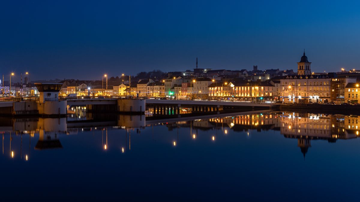
Adare is a small village and parish located in County Limerick in the province of Munster in southwestern Ireland. It sits in the valley of the River Maigue, approximately 16 kilometers south of Limerick city. The landscape surrounding Adare is characterized by rolling countryside, pastoral fields, and woodland areas typical of the region. The village itself is situated on the main N21 road that connects Limerick to the south, making it an accessible location within the wider county network.
The parish has a rich medieval history that has shaped its character and significance. Adare was established as a planned village in the 14th century by the Earl of Kildare and later developed further by the Earls of Dunraven in the 19th century. The village contains several important historical structures, including Adare Manor, a large Gothic Revival house built on the site of a medieval castle, and three notable friaries—the Franciscan, Dominican, and Carmelite friaries—which date from the medieval period and remain as ruins within the parish. These religious houses reflect Adare's historical importance as a center of spiritual and monastic life.
Adare has become known as one of Ireland's most picturesque villages, with thatched cottages lining its main street and tree-lined avenues that have attracted visitors and maintained its appeal as a heritage destination. The parish community has worked to preserve its architectural heritage and character while adapting to modern needs. The presence of Adare Manor, now operating as a hotel and golf resort, has brought economic activity and employment to the area, though this has also brought changes to the traditional parish community and landscape.
Today, Adare parish serves as both a living community for local residents and a significant cultural and historical site within County Limerick. The combination of its medieval religious heritage, aristocratic history, and picturesque setting has made it an important location for understanding rural Irish history and development. For the local community, the parish remains a focal point of social and cultural identity, while its historical sites and natural setting continue to sustain its role within the broader region.
Source: AI generated

Photo by Laura ter Horst on Unsplash
- Condado
-
Baronía
Coshma
-
Nombre en irlandés
Áth Dara
-
Localidades
44 localidades
- Logainm
Griffith's Valuation
National Archives of Ireland (c. 1830s-1850s)
987 occupiers recorded in Griffith's Valuation across 22 townlands (1830s-1850s).
Top Surnames
Source: Valuation Office Books, National Archives of Ireland. Public records.
Acciones rápidas
Obtener la app de iOS
Busque sobre la marcha
Ubicación de la parroquia
Detalles
- Inglés
- Adare
- Irlandés
- Áth Dara
- Baronía
- Coshma
- Condado
- Limerick