36
Census Records
8
Households
2
Census Years
- People
- 18
- Households
- 4
- People
- 18 0%
- Households
- 4 0%
About
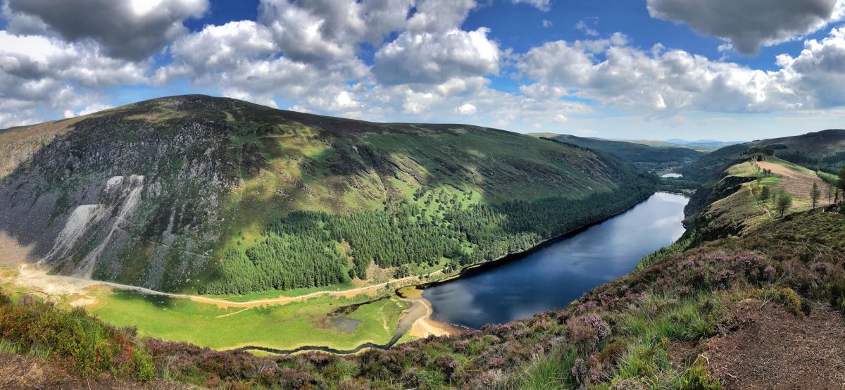
Knockieran Upper is a townland located in County Wicklow in the province of Leinster, in the southeastern region of Ireland. The area falls within the broader landscape characteristic of County Wicklow, known for its mountainous terrain, river valleys, and mixture of upland and lowland regions. The townland's name derives from Irish, with "Knock" typically referring to a hill or hillock, suggesting the elevated or hilly nature of the locality. The surrounding countryside features the rolling hills and pastoral landscapes typical of Wicklow, with a combination of agricultural land, woodland, and open moorland that characterizes much of the region's topography.
County Wicklow has a long and complex history stretching back to pre-Christian times, with evidence of settlement and activity throughout the medieval and early modern periods. Like many Irish townlands, Knockieran Upper reflects the historical patterns of land division, settlement, and land use that developed over centuries. The townland system itself, which divides Irish land into small administrative units, became formalized during the Tudor and Stuart periods and was further systematized during various land surveys and the subsequent Ordnance Survey mapping of Ireland in the nineteenth century. The area would have been shaped by the general historical developments affecting County Wicklow, including monastic settlement, Anglo-Norman influence, and later English colonial administration.
Knockieran Upper, like other townlands in the region, forms part of the intricate patchwork of small communities and rural settlements that characterize County Wicklow. The townland represents a unit of local geography and historical identity, though specific documented events or features particular to Knockieran Upper are not widely recorded in accessible historical sources. The area contributes to the broader cultural and agricultural heritage of Wicklow, with its landscape and history intertwined with the lives and livelihoods of generations of local families who have inhabited and worked the land throughout its recorded past.
Source: AI generated
No photo added yet
- Parish
- County
-
Irish Name
Cnoc an Chaorthainn Uachtarach
-
Barony
Talbotstown Lower
- Logainm
Valuation Office Records
From the National Archives of Ireland (c. 1830s–1850s)
6 occupiers recorded in the Valuation Office Books for this townland.
Source: Valuation Office Books, National Archives of Ireland. Public records.
Townland Location
OpenStreetMapDetails
- English
- Knockieran Upper
- Irish
- Cnoc an Chaorthainn Uachtarach
- Parish
- Blessington
- Barony
- Talbotstown Lower
- County
- Wicklow