104
Taifid Daonáirimh
20
Teaghlaigh
2
Bliana Daonáirimh
- Daoine
- 50
- Teaghlaigh
- 10
- Daoine
- 54 +8%
- Teaghlaigh
- 10 0%
Maidir Liom
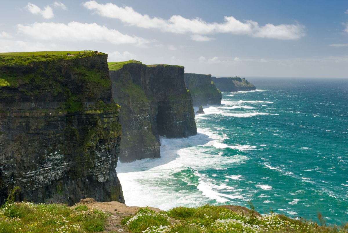
Rahaniska is a small townland situated in County Clare in the northwest of the Republic of Ireland. The townland forms part of the broader landscape of the Burren region, characterized by its distinctive limestone karst terrain. The area is marked by rolling hills, exposed bedrock, and sparse vegetation typical of this unique geological formation. The locality benefits from its position within one of Ireland's most geologically significant landscapes, where the limestone bedrock has been shaped over millennia by water erosion, creating caves, underground streams, and the dramatic surface features the Burren is famous for.
As with many Irish townlands, Rahaniska has roots extending deep into Ireland's past. The townland system itself represents an ancient division of Irish land, with origins often traceable to medieval and pre-medieval settlement patterns. The broader County Clare region has a rich historical record spanning from prehistoric times through the medieval period, when the area was inhabited by various Gaelic clans and later experienced Norman influence. Like much of rural Ireland, Rahaniska would have been shaped by patterns of agricultural settlement, subsistence farming, and the social structures that characterized rural Irish communities across centuries.
Rahaniska, like many small townlands in Clare, is predominantly rural and agricultural in character. The landscape would have historically supported pastoral farming, particularly sheep and cattle raising suited to the limestone terrain. The townland's significance lies partly in its contribution to the cultural and environmental heritage of the Burren region, which today attracts visitors interested in geology, archaeology, and traditional Irish landscapes. The area remains a living rural community, with its character defined by its natural setting and connection to the broader history and identity of County Clare.
Source: AI generated
No photo added yet
- Paróiste
- Áit
-
Barúntacht
Maigh Fhearta
- Logainm
Gníomhartha Tapa
Faigh an Aip iOS
Cuardaigh ar an mbóthar
Suíomh an Bhaile Fearainn
OpenStreetMapSonraí
- Béarla
- Rahaniska
- Paróiste
- Maigh Fhearta
- Barúntacht
- Maigh Fhearta
- Áit
- An Clár