21
Taifid Daonáirimh
3
Teaghlaigh
1
Bliain Daonáirimh
- Daoine
- 21
- Teaghlaigh
- 3
Maidir Liom
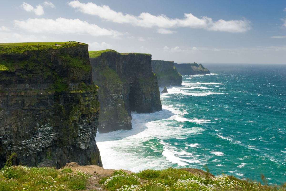
Knockaneden is a small townland located in County Clare in the west of Ireland, situated within the broader landscape of the county's distinctive karst terrain and rural countryside. Like many townlands in Clare, it occupies an area of modest size typical of Irish administrative divisions, contributing to the intricate patchwork of named localities that characterize the Irish landscape. The region falls within Clare's general topography of rolling hills, limestone bedrock, and pastoral land use, with the townland forming part of the wider rural geography that defines much of the county's character away from its larger towns and villages.
The history of Knockaneden, as with most small Irish townlands, is embedded within the broader historical narratives of County Clare and Irish rural settlement patterns. The townland system itself represents centuries of Irish land organization and naming conventions, with many townland names deriving from Irish language origins. Knockaneden's place within this system reflects the layers of occupation, land division, and community development that have shaped rural Clare over generations, though detailed historical records specific to this individual townland may be limited in public sources.
As a rural townland in County Clare, Knockaneden would have been shaped by the agricultural traditions and land-use practices common to the region, with farming and pastoral activities forming the backbone of local life and economy. The townland exists within a broader community context, connected to nearby settlements and villages that serve as focal points for local services, commerce, and social activity. Like many rural Irish townlands, it represents the dispersed settlement pattern that characterizes the Irish countryside, where population is distributed across small communities rather than concentrated in urban centers.
Today, Knockaneden remains part of Clare's rural fabric, contributing to the county's character as a predominantly agricultural and scenic region. The townland, while small and perhaps little-known beyond its immediate locality, exemplifies the thousands of named places that constitute Ireland's detailed geographic and cultural landscape, preserving local identity and heritage within the intricate system of Irish place names and community divisions.
Source: AI generated
No photo added yet
- Paróiste
- Áit
-
Barúntacht
Corca Mrua
- Logainm
Gníomhartha Tapa
Faigh an Aip iOS
Cuardaigh ar an mbóthar
Suíomh an Bhaile Fearainn
OpenStreetMapSonraí
- Béarla
- Knockaneden
- Paróiste
- Cill Tórachta
- Barúntacht
- Corca Mrua
- Áit
- An Clár