29
Taifid Daonáirimh
9
Teaghlaigh
2
Bliana Daonáirimh
- Daoine
- 17
- Teaghlaigh
- 5
- Daoine
- 12 -29.4%
- Teaghlaigh
- 4 -20%
Maidir Liom
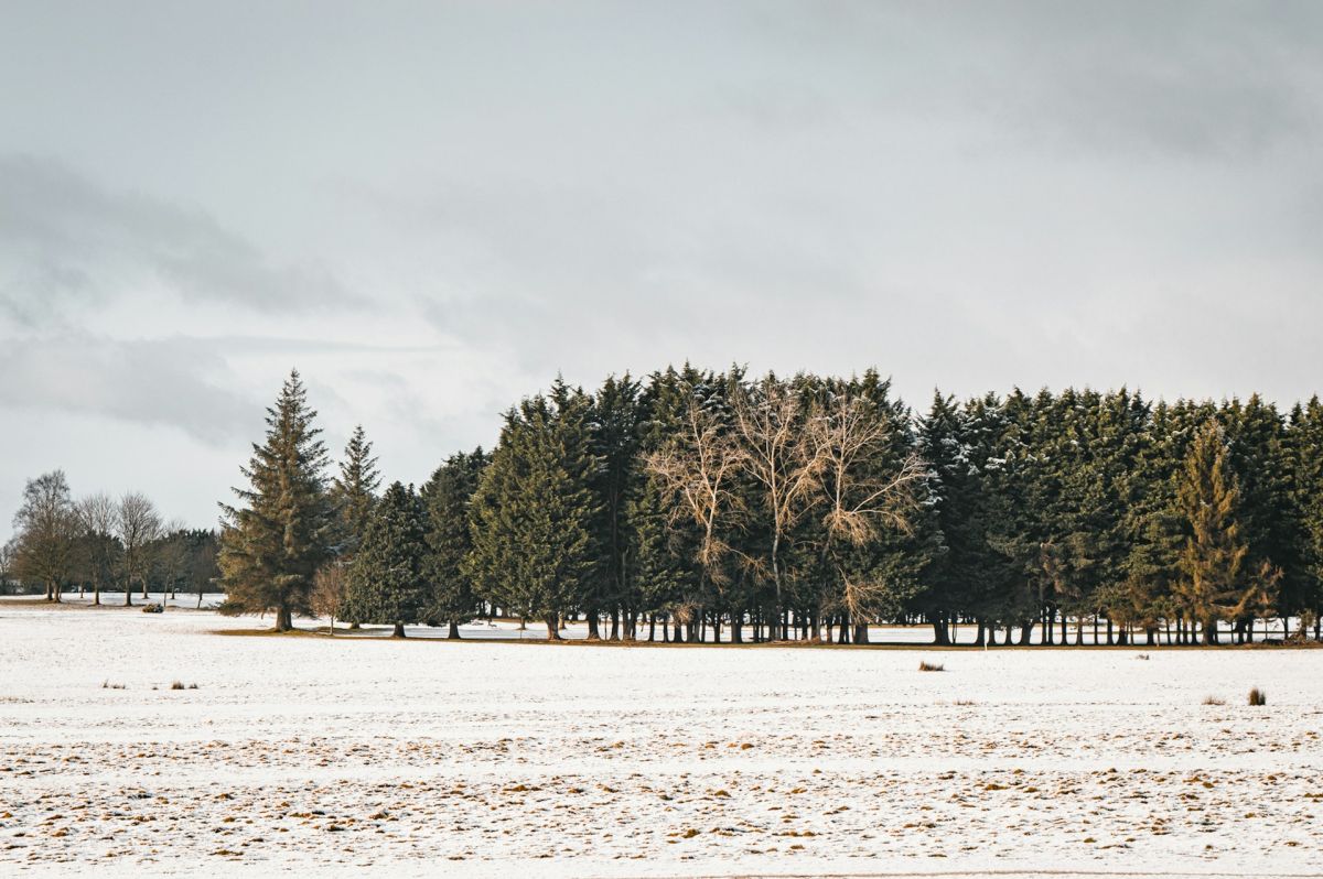
Harristown Lower is a townland located in County Kildare in the Republic of Ireland, situated in the province of Leinster. The townland forms part of the rural landscape characteristic of central Ireland, with gently rolling countryside typical of the Kildare region. Like many townlands in Ireland, it represents a subdivision of land that has administrative and historical significance, though it remains primarily agricultural in character. The surrounding area is part of the broader Midlands region, characterized by pastureland, small farms, and scattered settlements that reflect centuries of rural Irish settlement patterns.
The townland system itself, of which Harristown Lower is a part, has roots extending back through Irish history, with the "townland" being a fundamental unit of land division in Ireland. The name Harristown suggests a historical association with a family or individual named Harris, a pattern common in Irish place nomenclature where townlands often took names from prominent landowners or settlers. The broader parish and baronial divisions within County Kildare have documented histories relating to the Anglo-Norman settlement and subsequent developments in Irish land tenure, though specific detailed records of Harristown Lower may be scattered across various historical archives and local sources.
As a contemporary townland, Harristown Lower serves as part of the local geographic and social framework for the surrounding community in County Kildare. Like many rural Irish townlands, it represents both a historical artifact of Ireland's distinctive land division system and a living part of the modern rural landscape. The townland remains significant to local residents and historians as a marker of place identity and as part of the detailed geographic record that characterizes Irish rural areas. Understanding such townlands contributes to broader knowledge of Irish settlement patterns, land use, and the persistence of traditional administrative divisions in modern Ireland.
Source: AI generated
No photo added yet
- Paróiste
- Áit
-
Ainm Gaeilge
Baile Hanraí Íochtarach
-
Barúntacht
Uíbh Fhailí Thiar
- Logainm
Taifid Oifig na Luachála
Ó Chartlann Náisiúnta na hÉireann (timpeall 1830idí–1850idí)
Taifeadadh 4 sealbhóir i Leabhair Oifig na Luachála don bhaile fearainn seo.
Foinse: Leabhair Oifig na Luachála, Cartlann Náisiúnta na hÉireann. Taifid phoiblí.
Gníomhartha Tapa
Faigh an Aip iOS
Cuardaigh ar an mbóthar
Suíomh an Bhaile Fearainn
OpenStreetMapSonraí
- Béarla
- Harristown Lower
- Gaeilge
- Baile Hanraí Íochtarach
- Paróiste
- Baile Hanraí
- Barúntacht
- Uíbh Fhailí Thiar
- Áit
- Cill Dara