19
Taifid Daonáirimh
3
Teaghlaigh
1
Bliain Daonáirimh
- Daoine
- 19
- Teaghlaigh
- 3
Maidir Liom
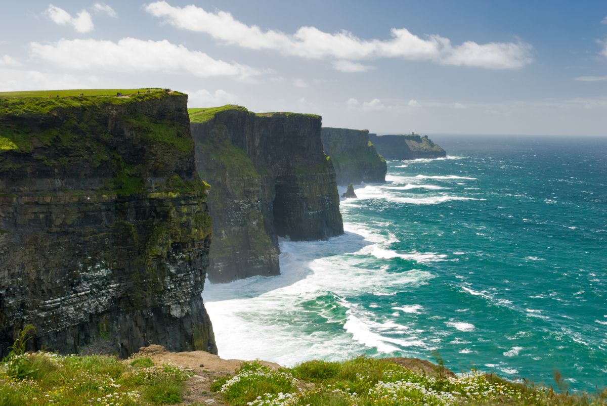
Coolistoonan is a small townland situated in County Clare in the west of Ireland, an area characterized by the distinctive limestone landscape of the Burren and rolling agricultural countryside. The townland forms part of the wider rural landscape that defines much of County Clare's topography, with its terrain typical of the region—a mix of pastureland, stone walls, and natural features shaped by both geology and centuries of human habitation. Like many Irish townlands, Coolistoonan represents a traditional land division unit that has been in use since medieval times, though the exact boundaries have evolved over centuries.
The history of Coolistoonan, as with most Irish townlands, is deeply connected to the broader history of rural settlement, land tenure, and the social structures that characterized Irish countryside life. The townland system itself dates back to medieval Ireland and was further systematized during the Tudor and Stuart periods as part of the English administration's efforts to map and organize Irish territories. Coolistoonan would have been inhabited by farming families and subject to the various land ownership systems that prevailed across different historical periods, including the plantation era, the penal laws, and the subsequent evolution toward the tenant farmer system that dominated the 19th and 20th centuries.
As a small rural townland, Coolistoonan's significance lies primarily in its role within the local community and its contribution to the agricultural character of County Clare. Townlands like Coolistoonan serve as important geographic and cultural markers for local people, often used in addresses and as reference points in daily life, even though they lack formal administrative status in modern Ireland. The townland remains part of the cultural and linguistic fabric of the region, representing the accumulated history of generations of families who worked the land and built their communities within these traditional territorial boundaries.
Source: AI generated
No photo added yet
- Paróiste
- Áit
-
Ainm Gaeilge
Cúil Lios Dúnáin
-
Barúntacht
An Tulach Íochtarach
- Logainm
Taifid Oifig na Luachála
Ó Chartlann Náisiúnta na hÉireann (timpeall 1830idí–1850idí)
Taifeadadh 1 sealbhóir i Leabhair Oifig na Luachála don bhaile fearainn seo.
Foinse: Leabhair Oifig na Luachála, Cartlann Náisiúnta na hÉireann. Taifid phoiblí.
Gníomhartha Tapa
Faigh an Aip iOS
Cuardaigh ar an mbóthar
Suíomh an Bhaile Fearainn
OpenStreetMapSonraí
- Béarla
- Coolistoonan
- Gaeilge
- Cúil Lios Dúnáin
- Paróiste
- Cluain Lao
- Barúntacht
- An Tulach Íochtarach
- Áit
- An Clár