18
Townlands
1,009
Taifid Daonáirimh
238
Teaghlaigh
2
Bliana Daonáirimh
- Daoine
- 553
- Teaghlaigh
- 127
- Daoine
- 456 -17.5%
- Teaghlaigh
- 111 -12.6%
Maidir Liom
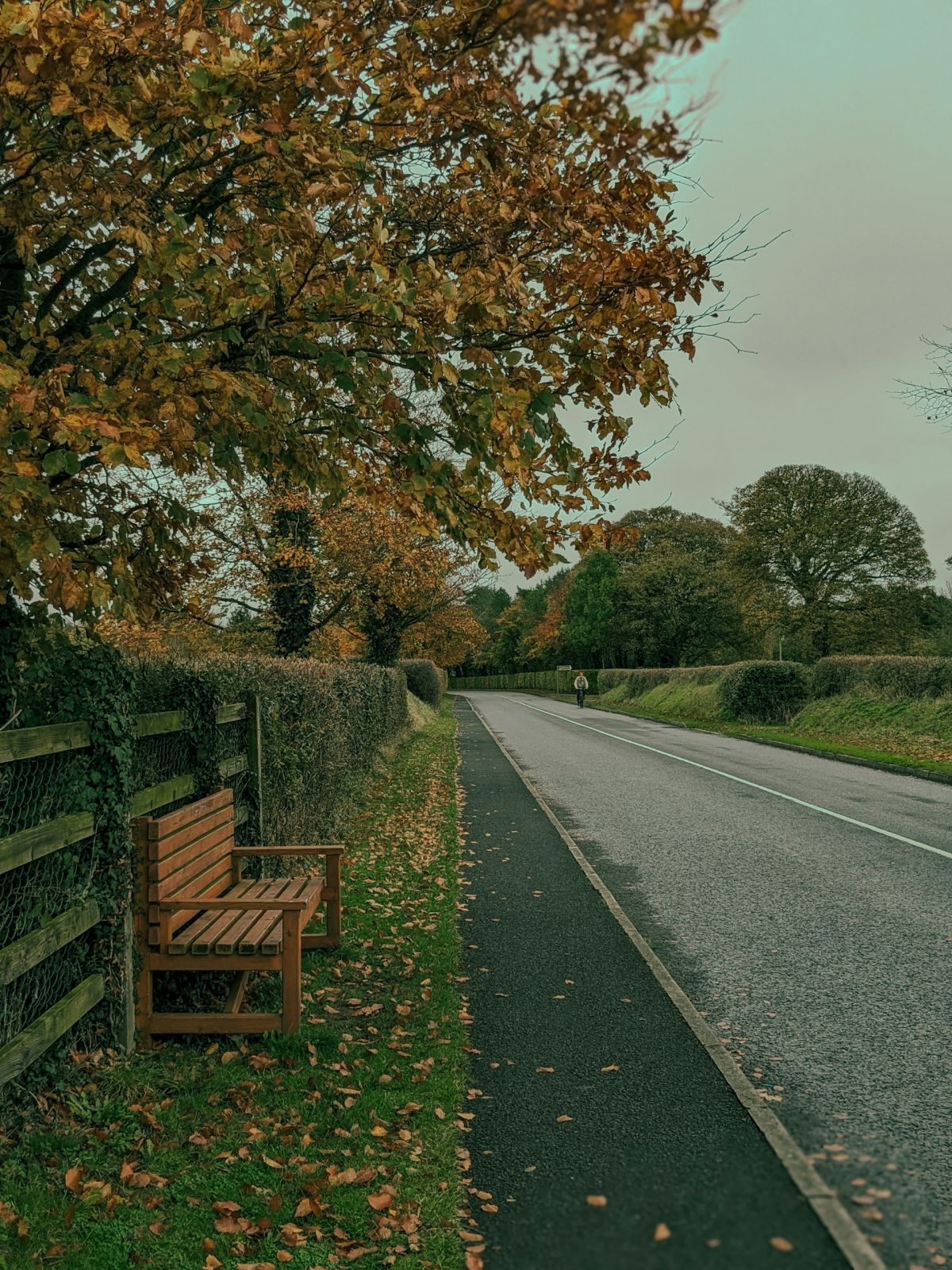
Drummully is a small rural district located in County Monaghan in the Ulster region of northern Ireland. The area sits within the characteristic drumlin landscape of County Monaghan, which is defined by rolling hills, small lakes, and scattered woodlands typical of this part of the Irish midlands. The district is situated in a predominantly agricultural zone, with the landscape shaped by centuries of farming practices and land management. The terrain's undulating character has influenced patterns of settlement and land use throughout the area, with small villages and townlands dispersed across the countryside rather than concentrated in large urban centers.
The history of Drummully, like much of County Monaghan, is rooted in the broader narratives of Irish rural settlement and land tenure. The area would have been shaped by the various historical periods that affected Ulster and the wider island, including the Ulster Plantation period and subsequent land reorganization. Local place names and townland divisions reflect layers of Irish, Norman, and English influence accumulated over centuries. The agricultural economy that developed in the region formed the backbone of community life and continues to be significant to the area's identity and character.
Drummully serves primarily as a residential and agricultural district with strong community connections typical of rural Irish townlands. The area is likely characterized by family farms, local associations, and community organizations that form the social fabric of rural Monaghan life. Like many rural districts in Ireland, Drummully would have experienced demographic changes over recent decades, with modernization and emigration affecting population patterns. Despite these broader changes, the district maintains its identity as part of the close-knit network of townlands and communities that constitute County Monaghan's rural landscape.
Source: AI generated
Photo by Tommy Bond on Unsplash
- Áit
-
Dlínse
Poblacht na hÉireann
-
Bliana Daonáirimh
1901, 1911
-
Townlands
18 townlands taifeadta
Gníomhartha Tapa
Faigh an Aip iOS
Cuardaigh ar an mbóthar
Suíomh an Cheantair
OpenStreetMapSonraí
- Ceantar
- Drummully
- Áit
- Muineachán
- Gaeilge
- Muineachán
- Dlínse
- Poblacht na hÉireann
Taifid Daonáirimh
Townlands
18Cookie Notice
This site uses essential cookies to keep you signed in and remember your preferences. We do not use analytics or advertising cookies.
Read our Privacy PolicyGet in touch
Message sent
Thanks for getting in touch. I'll get back to you as soon as I can.