À propos
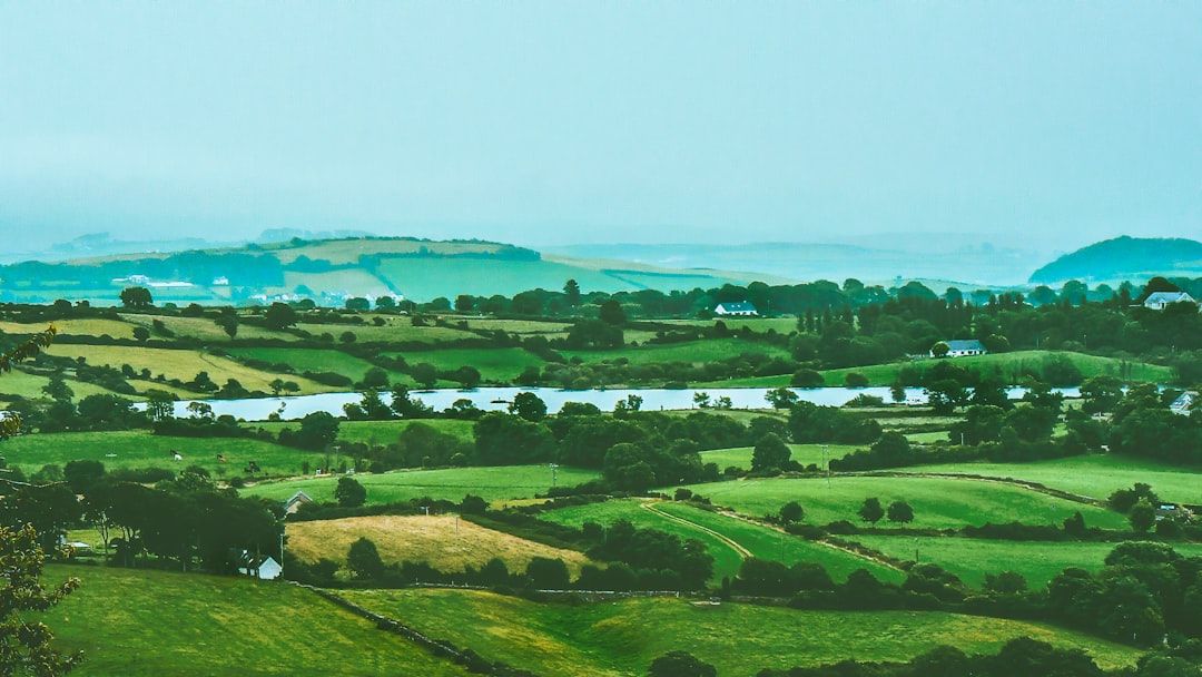
Mounteagle is a small townland situated in County Laois in the Irish Midlands, a region characterized by rolling countryside, farmland, and bog. Like many townlands in Ireland, Mounteagle represents a unit of land division that reflects centuries of territorial organization in the countryside. The landscape of the area is typical of inland County Laois, with agricultural land, hedgerows, and the natural features that define this part of the midlands. The townland's name suggests an elevated or prominent geographical feature, though the area itself forms part of the gently undulating terrain that characterizes much of County Laois.
The history of Mounteagle, as with many Irish townlands, is intertwined with the broader patterns of settlement, land tenure, and social organization that have shaped rural Ireland. Townlands of this kind often emerged through medieval and post-medieval processes of land division and administrative organization, reflecting patterns of clan territory, monastic holdings, and subsequent Norman and English settlement. County Laois itself has a complex history involving the O'More and O'Dempsey clans in the medieval period, followed by English plantation and subsequent land reforms. While specific detailed records of Mounteagle's individual history may be limited, it shares in this broader heritage.
Today, Mounteagle remains part of the rural fabric of County Laois, an area committed to agriculture, forestry, and conservation. The townland is representative of the many small rural communities that form the backbone of Ireland's countryside. For those with family or historical connections to the area, townlands like Mounteagle serve as important markers of local identity and ancestry, particularly for the Irish diaspora researching genealogy and family heritage. The preservation of townland names and boundaries continues to be significant for understanding Irish rural settlement patterns and local history.
Source: AI generated
No photo added yet
- Paroisse
- Comté
-
Nom irlandais
Baile Uí Dhéigill
-
Baronnie
Maryborough West
- Logainm
Actions rapides
Obtenir l'application iOS
Recherchez en déplacement
Emplacement de la localité
OpenStreetMapDétails
- Anglais
- Mounteagle
- Irlandais
- Baile Uí Dhéigill
- Paroisse
- Clonenagh and Clonagheen
- Baronnie
- Maryborough West
- Comté
- Laois
Registres de recensement
Registres historiques du recensement
2 non liésCes registres de recensement correspondent au nom Mounteagle mais n'ont pas pu être automatiquement liés à cette localité. Le nom historique peut désigner une rue, une subdivision ou une ancienne limite qui n'existe plus comme unité distincte.
Cookie Notice
This site uses essential cookies to keep you signed in and remember your preferences. We do not use analytics or advertising cookies.
Read our Privacy PolicyGet in touch
Message sent
Thanks for getting in touch. I'll get back to you as soon as I can.