8
Registres de recensement
2
Foyers
1
Année du recensement
- Personnes
- 8
- Foyers
- 2
À propos
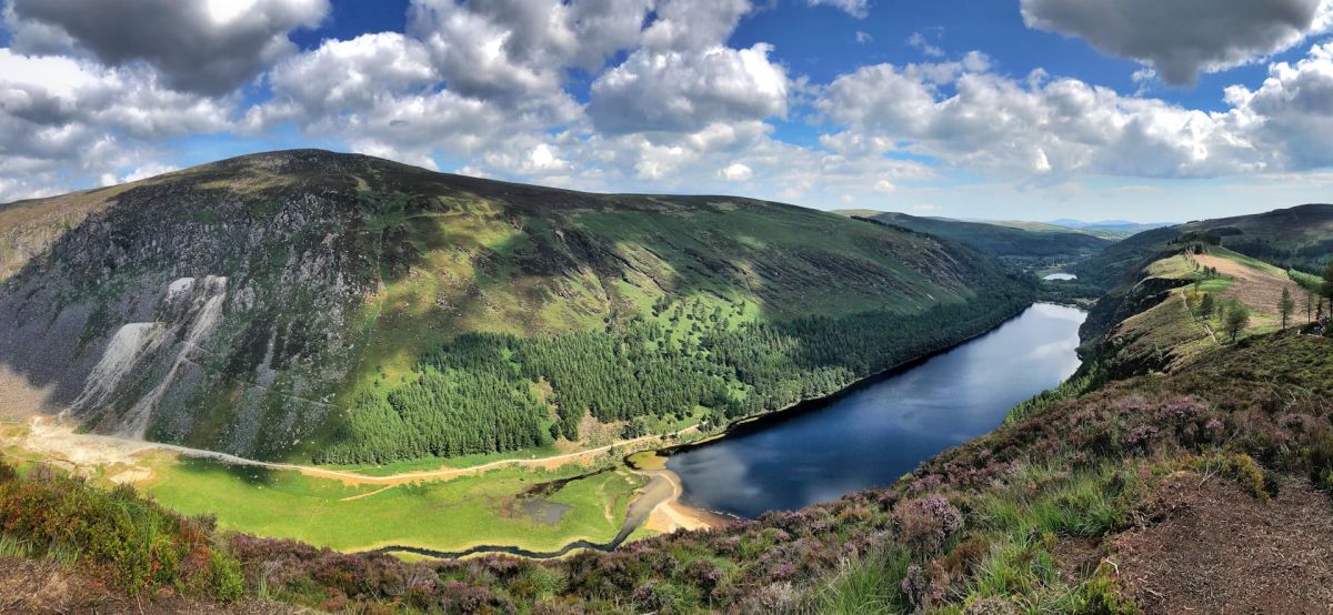
Irongrange Upper is a townland located in County Wicklow in the province of Leinster, situated in the eastern part of Ireland. The area is characterized by the rolling landscape typical of Wicklow, with its mix of agricultural land, woodland, and moorland. The townland falls within the broader geographic context of the Wicklow Mountains region, which defines much of the county's terrain and natural environment. Like many rural townlands in Ireland, Irongrange Upper represents a historic land division that has persisted through centuries of Irish history and land administration.
The townland system itself, of which Irongrange Upper is a part, has deep roots in Irish history, with origins tracing back to medieval and early modern periods. Townlands served as fundamental units of land organization and property administration in Ireland, and they remain important for geographic identification and historical research. The specific history of Irongrange Upper, like many smaller townlands in Wicklow, is interconnected with broader patterns of settlement, agriculture, and land use that characterized the region over centuries.
Irongrange Upper, as a rural townland in County Wicklow, contributes to the rich tapestry of the county's heritage and landscape. The townland, along with neighboring areas, forms part of the distinctive character of Wicklow's countryside, which has attracted both residents and visitors for its natural beauty and historical significance. Rural townlands such as this one remain relevant to local community identity and continue to serve administrative and geographic functions in contemporary Ireland.
The preservation and recognition of townlands like Irongrange Upper reflect the importance of local geographic knowledge and historical continuity in Irish rural communities. These small territorial units maintain cultural and practical significance for residents and serve as markers of Ireland's complex land history and settlement patterns. Understanding townlands provides insight into how Irish rural society has been organized and how communities continue to maintain connections to their local landscape and heritage.
Source: AI generated
No photo added yet
- Paroisse
- Comté
-
Nom irlandais
Gráinseach an Iarainn Uachtarach
-
Baronnie
Talbotstown Upper
- Logainm
Valuation Office Records
From the National Archives of Ireland (c. 1830s–1850s)
7 occupiers recorded in the Valuation Office Books for this townland.
Source: Valuation Office Books, National Archives of Ireland. Public records.
Actions rapides
Obtenir l'application iOS
Recherchez en déplacement
Emplacement de la localité
OpenStreetMapDétails
- Anglais
- Irongrange Upper
- Irlandais
- Gráinseach an Iarainn Uachtarach
- Paroisse
- Baltinglass
- Baronnie
- Talbotstown Upper
- Comté
- Wicklow