39
Registres de recensement
10
Foyers
2
Années de recensement
- Personnes
- 22
- Foyers
- 6
- Personnes
- 17 -22.7%
- Foyers
- 4 -33.3%
À propos
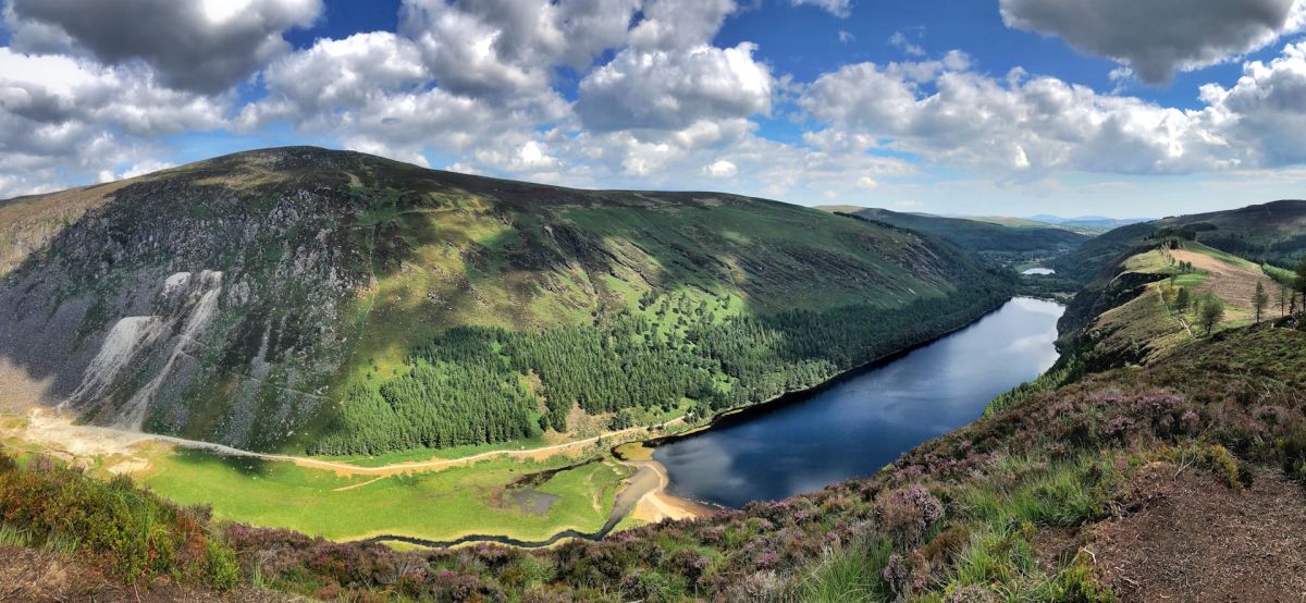
Friarhill is a small townland located in County Wicklow in the province of Leinster, in the east of Ireland. The townland is situated in the region known as the Garden County due to its verdant landscape and rolling hills. County Wicklow itself is characterized by mountainous terrain, particularly the Wicklow Mountains, river valleys, and extensive areas of woodland and farmland. Friarhill's setting reflects this broader landscape character, with the area featuring the pastoral and agricultural character typical of rural Wicklow townlands, where small settlements are interspersed among fields, hedgerows, and traditional stone structures.
The historical background of Friarhill, like many Irish townlands, is deeply connected to the Anglo-Norman settlement of Ireland and the subsequent development of the Irish countryside during the medieval and early modern periods. The name itself, with the "Friar" element, suggests a connection to religious establishments that were common throughout medieval Ireland. Townlands in County Wicklow were established as units of land division during the Norman period and refined through subsequent centuries of Irish and English administration, serving as the fundamental geographical and administrative divisions of the Irish countryside.
Today, Friarhill remains part of the fabric of rural County Wicklow life, contributing to the local community structure and land use patterns that characterize the region. Like many small townlands, it likely serves primarily as an agricultural area with scattered residential properties. The townland is part of the broader Wicklow landscape that has become increasingly important for tourism, heritage, and environmental conservation, as visitors and residents alike value the county's natural beauty and historical significance. For the local community, such townlands represent continuity with Ireland's past while functioning as practical geographic and administrative units in contemporary life.
Source: AI generated
No photo added yet
- Paroisse
- Comté
-
Nom irlandais
Cnoc na mBráithre
-
Baronnie
Talbotstown Lower
- Logainm
Valuation Office Records
From the National Archives of Ireland (c. 1830s–1850s)
16 occupiers recorded in the Valuation Office Books for this townland.
Source: Valuation Office Books, National Archives of Ireland. Public records.
Actions rapides
Obtenir l'application iOS
Recherchez en déplacement