Acerca de
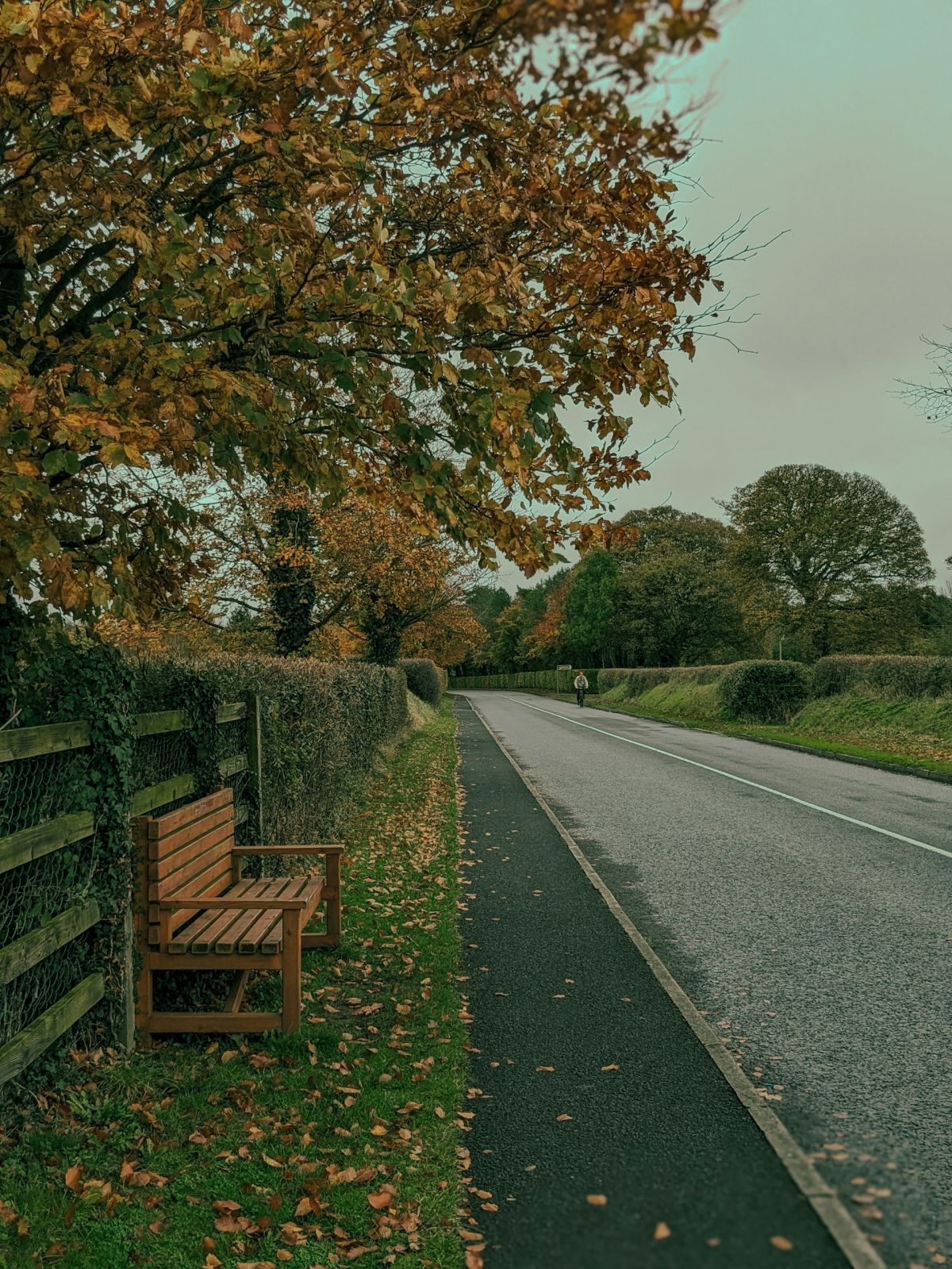
Mullaghmore is a small townland located in County Monaghan in the Ulster region of Northern Ireland's border counties. The townland sits within the broader agricultural landscape that characterizes much of Monaghan, an area known for its rolling terrain, drumlin formations, and patchwork of fields divided by hedgerows and stone walls. Like many townlands in the region, Mullaghmore represents a traditional Irish land division, with its landscape shaped by centuries of farming practices and rural settlement patterns typical of the northwest of Ireland.
The area reflects the broader historical patterns of County Monaghan, which has been inhabited and worked for centuries. Monaghan itself has a long history of settlement, with evidence of human activity stretching back through medieval times and beyond. The townland system, of which Mullaghmore is a part, derives from Irish administrative divisions that have roots in pre-Norman Ireland and were further systematized during English colonial rule. Like other townlands in the county, Mullaghmore would have developed through the gradual establishment of farming communities and family holdings over generations.
As a rural townland, Mullaghmore maintains the character typical of the Irish countryside, serving primarily as an agricultural and residential area. The local community would be connected to the broader networks of rural life in Monaghan, including connections to nearby towns and villages that serve as market and service centers. The townland represents the dispersed settlement pattern common to the region, where homes and farmsteads are distributed across the landscape rather than concentrated in a single village center.
Mullaghmore, like many small townlands in County Monaghan, holds significance as part of the area's cultural and social fabric. These small administrative divisions continue to carry meaning for local residents and families with deep roots in the area, serving as markers of identity and place. The townland system remains an important aspect of Irish geography and heritage, representing a distinctive way of organizing and understanding rural Irish space that persists alongside modern administrative divisions.
Source: AI generated
No photo added yet
- Parroquia
- Condado
-
Nombre en irlandés
An Mullach Mór
-
Baronía
Trough
- Logainm
Acciones rápidas
Obtener la app de iOS
Busque sobre la marcha
Ubicación de la localidad
OpenStreetMapDetalles
- Inglés
- Mullaghmore
- Irlandés
- An Mullach Mór
- Parroquia
- Errigal Trough
- Baronía
- Trough
- Condado
- Monaghan
Registros censales
Registros censales históricos
4 sin vincularEstos registros censales coinciden con el nombre Mullaghmore pero no se pudieron vincular automáticamente con esta localidad. El nombre histórico puede referirse a una calle, subdivisión o antigua demarcación que ya no existe como unidad separada.
Cookie Notice
This site uses essential cookies to keep you signed in and remember your preferences. We do not use analytics or advertising cookies.
Read our Privacy PolicyGet in touch
Message sent
Thanks for getting in touch. I'll get back to you as soon as I can.