Acerca de
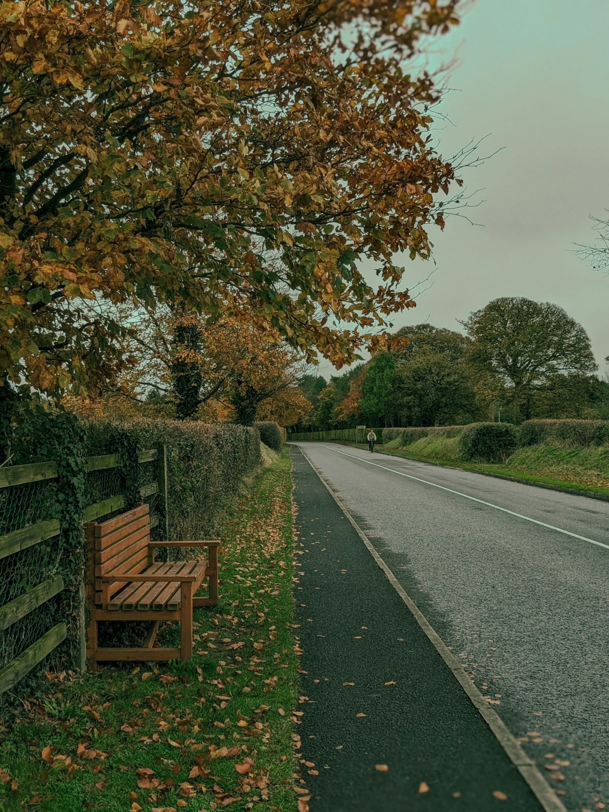
Losset is a small townland located in County Monaghan in the province of Ulster in the north of Ireland. The townland lies within the broader landscape of County Monaghan, a region characterized by gently rolling hills, small lakes known as drumlins, and a patchwork of agricultural land. The area is part of the distinctive drumlin belt that stretches across Ulster, formed by glacial activity during the last ice age. Like many townlands in the region, Losset would have been shaped by this glacial geology, creating the undulating terrain and small water features typical of County Monaghan's landscape.
As with most Irish townlands, Losset's history is intertwined with the broader historical patterns of County Monaghan and Ulster. The region has a long history of settlement and land use, with evidence of human activity dating back centuries. County Monaghan itself has experienced the various upheavals of Irish history, including periods of Gaelic Irish control, Norman influence, plantation policies, and the subsequent development of the modern Irish state. Townlands like Losset served as the basic units of land organization and administration, playing a crucial role in how communities were structured and governed over time.
Losset, like many rural townlands in County Monaghan today, represents the quiet agricultural character that defines much of the county's hinterland. The area would have traditionally been centered on farming and local community life, with residents engaged in dairy farming, stock raising, and small-scale agriculture typical of the region. These townlands form the fabric of rural Irish identity and heritage, serving as repositories of local knowledge, family history, and cultural continuity. For those with ancestral connections to the area, townlands like Losset hold particular significance as markers of family heritage and local belonging.
Source: AI generated

Photo by Tommy Bond on Unsplash
- Parroquia
- Condado
-
Nombre en irlandés
An Losaid
-
Baronía
Monaghan
- Logainm
Valuation Office Records
From the National Archives of Ireland (c. 1830s–1850s)
2 occupiers recorded in the Valuation Office Books for this townland.
Source: Valuation Office Books, National Archives of Ireland. Public records.
Acciones rápidas
Obtener la app de iOS
Busque sobre la marcha