6
Registros censales
2
Hogares
1
Año del censo
- Personas
- 6
- Hogares
- 2
Acerca de
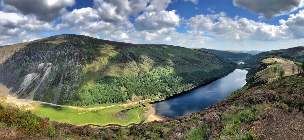
Irongrange Lower is a townland situated in County Wicklow in the province of Leinster, in the east of Ireland. The townland is located in the barony of Shillelagh, in the southern portion of County Wicklow, an area characterized by rolling countryside with a mix of agricultural land and natural woodland. The landscape of this region is typical of the foothills and valleys of the Wicklow Mountains, with streams and small watercourses feeding into the broader river systems of the area. The townland forms part of a broader network of small rural settlements that have historically dotted the Wicklow countryside.
As with many Irish townlands, Irongrange Lower has roots stretching back through several centuries of Irish history. The townland system itself represents a legacy of medieval and early modern land divisions, with the name "Irongrange" likely derived from historical usage, though the precise etymology is not definitively documented in readily available sources. The area would have been part of the broader historical patterns of settlement, agriculture, and social organization that characterized rural County Wicklow over successive periods, including the impact of Norman settlement, the consolidation of English authority, and the subsequent evolution of Irish rural life.
Irongrange Lower, like many small townlands in Wicklow, has primarily served as a unit of agricultural and residential settlement. The townland would have supported farming families engaged in typical rural pursuits suited to the local terrain and climate. Today, it remains a quiet rural area, with the townland system continuing to serve as an important administrative and geographical reference point in Irish land records and local knowledge. The significance of Irongrange Lower to the broader community lies in its place within the historical fabric of Wicklow's rural heritage and its representation of the traditional pattern of Irish townland settlement.
Source: AI generated
No photo added yet
- Parroquia
- Condado
-
Nombre en irlandés
Gráinseach an Iarainn Íochtarach
-
Baronía
Talbotstown Upper
- Logainm
Valuation Office Records
From the National Archives of Ireland (c. 1830s–1850s)
7 occupiers recorded in the Valuation Office Books for this townland.
Source: Valuation Office Books, National Archives of Ireland. Public records.
Acciones rápidas
Obtener la app de iOS
Busque sobre la marcha
Ubicación de la localidad
OpenStreetMapDetalles
- Inglés
- Irongrange Lower
- Irlandés
- Gráinseach an Iarainn Íochtarach
- Parroquia
- Baltinglass
- Baronía
- Talbotstown Upper
- Condado
- Wicklow