Acerca de
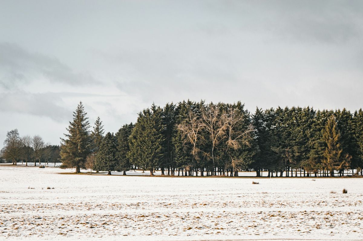
Castledillon Lower is a townland located in County Kildare in the province of Leinster, in the east-central part of Ireland. The townland forms part of the broader Castledillon area, situated within the landscape characteristic of County Kildare, which is known for its gently rolling terrain, agricultural land, and proximity to the River Liffey watershed. The region's geography reflects the typical midland Irish landscape, with fields, hedgerows, and scattered settlements that have shaped the area for centuries. Like many Kildare townlands, Castledillon Lower would have been historically defined by its natural boundaries and land divisions used for agricultural and administrative purposes.
The townland, like much of Kildare, has roots extending back through medieval and early modern Irish history. County Kildare itself played significant roles in various periods of Irish history, from the early Christian period through the Anglo-Norman presence and subsequent English colonial administration. The townland system itself became the standard unit of land division during English administration in Ireland, with each townland holding particular local significance for families, land ownership, and community identity. Understanding Castledillon Lower requires recognizing it within this broader historical framework of rural Irish land organization and settlement patterns.
Castledillon Lower, as a rural townland in County Kildare, would have historically supported agricultural activity typical of the region, including farming and pastoral pursuits. The townland's significance to local communities has traditionally been tied to land ownership, family heritage, and local knowledge. Many such townlands contain historical structures, field systems, and place names that reflect generations of habitation and use. The local community's connection to Castledillon Lower would encompass family histories, property records, and the practical relationships between people and the land they inhabited and worked.
Today, Castledillon Lower remains part of the administrative and cultural geography of County Kildare, contributing to the broader tapestry of rural Irish townlands. While many small townlands have experienced changes due to modernization and urbanization, they continue to hold meaning for those with family connections to the area and for those interested in Irish local history and geography. The townland system itself remains an important organizing principle in Irish place names and local identity, making places like Castledillon Lower significant markers of Ireland's complex territorial and historical landscape.
Source: AI generated
No photo added yet
- Parroquia
- Condado
-
Nombre en irlandés
Díseart Iollan Íochtarach
-
Baronía
Salt South
- Logainm
Valuation Office Records
From the National Archives of Ireland (c. 1830s–1850s)
4 occupiers recorded in the Valuation Office Books for this townland.
Source: Valuation Office Books, National Archives of Ireland. Public records.
Acciones rápidas
Obtener la app de iOS
Busque sobre la marcha
Ubicación de la localidad
OpenStreetMapDetalles
- Inglés
- Castledillon Lower
- Irlandés
- Díseart Iollan Íochtarach
- Parroquia
- Castledillon
- Baronía
- Salt South
- Condado
- Kildare