Acerca de
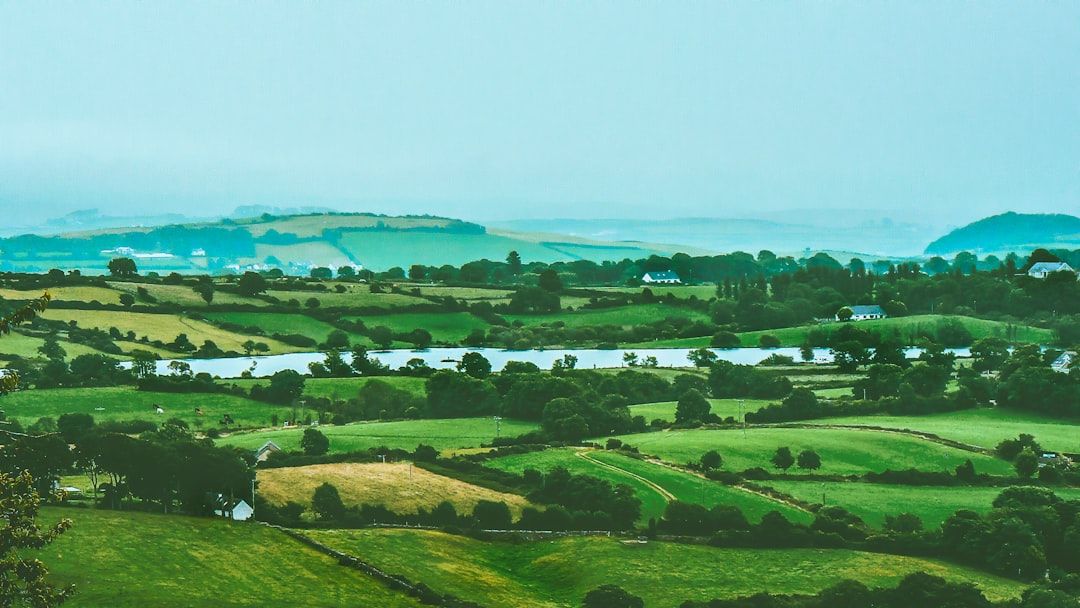
Boley Upper is a small townland situated in County Laois in the midlands of Ireland. Like many townlands in this region, it forms part of the broader landscape of the Irish Midlands, characterized by agricultural land, gentle rolling terrain, and the patchwork of fields typical of rural Ireland. The townland is one of numerous small settlements and land divisions that make up the administrative and geographical fabric of County Laois, an area known for its mix of farmland, forestry, and small rural communities.
The townland system itself has deep historical roots in Ireland, with townlands representing some of the oldest surviving land divisions in Europe. Boley Upper, like other townlands in the county, reflects centuries of land organization and settlement patterns that developed over medieval and early modern periods. The prefix "Boley" or similar variants appears in various Irish townlands and likely derives from historical land use or ownership patterns, though the specific etymology and history of this particular townland would require detailed historical records to establish with certainty.
As a rural townland in County Laois, Boley Upper is representative of the dispersed settlement pattern characteristic of the Irish countryside, where small communities and individual homes are scattered across the landscape rather than concentrated in villages. The area would have supported agricultural activity for generations, as farming remains central to the character of rural Laois. The townland, while small and not widely known beyond its immediate locality, forms part of the intricate network of communities that comprise the social and economic fabric of the county.
Today, Boley Upper remains part of the living landscape of County Laois, maintaining its connection to the land and agricultural heritage that defines much of rural Ireland. Like many such townlands, it represents the continuity of Irish rural settlement and the importance of these small administrative divisions in understanding local geography, history, and community identity.
Source: AI generated
No photo added yet
- Parroquia
- Condado
-
Nombre en irlandés
An Bhuaile Uachtarach
-
Baronía
Maryborough West
- Logainm
Acciones rápidas
Obtener la app de iOS
Busque sobre la marcha
Ubicación de la localidad
OpenStreetMapDetalles
- Inglés
- Boley Upper
- Irlandés
- An Bhuaile Uachtarach
- Parroquia
- Clonenagh and Clonagheen
- Baronía
- Maryborough West
- Condado
- Laois
Registros censales
Registros censales históricos
2 sin vincularEstos registros censales coinciden con el nombre Boley Upper pero no se pudieron vincular automáticamente con esta localidad. El nombre histórico puede referirse a una calle, subdivisión o antigua demarcación que ya no existe como unidad separada.
Cookie Notice
This site uses essential cookies to keep you signed in and remember your preferences. We do not use analytics or advertising cookies.
Read our Privacy PolicyGet in touch
Message sent
Thanks for getting in touch. I'll get back to you as soon as I can.